Northeast Air Zone Data
View the latest air quality data for the Northeast Air Zone through the BC Air Data Archive (Omineca-Peace Region). This also includes communities such as Fort St. John, Prince George, and Vanderhoof.
The Northeast Air Monitoring Project has been a collaborative initiative of the BC Ministry of Environment and Climate Change Strategy (ENV), the BC Oil and Gas Commission (OGC), the BC Ministry of Energy Mines and Petroleum Resources, the Canadian Association of Petroleum Producers (CAPP), Spectra Energy and communities in the Peace region of northeast BC. The project had the “goal of capturing the required air quality data to make the best informed decisions regarding public health, pollution management and impacts to sensitive ecosystems” in areas potentially impacted by oil and gas development. Temporary stations were maintained and operated by the Ministry of Environment and Climate Change Strategy.
During Phase 3 of the Project, air quality data were collected at Rolla, Taylor, and Blueberry River. Ambient concentrations of ozone, sulphur dioxide, total reduced sulphur and nitrogen dioxide at Rolla and Blueberry River were generally well below other locations in BC and fell well below provincial objectives. For this reason, the temporary monitoring has discontinued at the Rolla and Blueberry sites.
Learn more about the North East Air Monitoring Project.
Current Data Overview
- View current ambient pollutant concentrations and meteorological data (from the BC Air Data Archive)
or view individual air monitoring stations below.
Individual Air Monitoring Stations
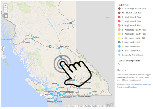
Use our interactive map to see an overview of air monitoring station readings from across the province. A mobile device-friendly version is also available.

