Offshore Map Gallery
View Offshore Map Gallery map
Other Maps
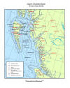
Queen Charlotte Basin Oil and Gas Wells (PDF, 1.36 MB)
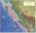
Generalized Map of Sedimentary Basins, Offshore BC (PDF, 5.82 MB)
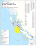
Existing & Proposed Marine Protected Areas Inventory 2004 (PDF, 620 KB or JPG, 5 MB)
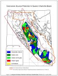
Petroleum Generation Potential (Cenozoic Units) (PDF, 769 KB) Figure I in Whiticar et. al.
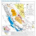
British Columbia Oil and Gas Resources (PDF, 2.4 MB)
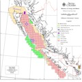
Offshore Petroleum Tenure (PDF, 670 KB)
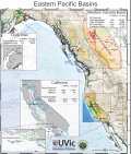
Eastern Pacific Sedimentary Basins (PDF, 2.4 MB)
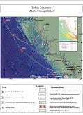
British Columbia Marine Transportation (PDF, 1.4 MB)
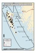
Exploratory Wells and Oil and Gas Seeps of the Queen Charlotte Basin (PDF, 50 KB)
Downloadable Shape Files
| Layer Name | Source |
|---|---|
| Exploratory wells | MEM/PTB |
| Offshore tenure - BC | MEM/PTB |
| BC offshore petroleum grid | MEM/PTB |
| Cruise ship routes | MEM/OOGT: Alaska Cruise |
| Oil and Gas Play (QCB) | MEM |
| Tanker exclusion zone | CCG;DFO |
| Territorial limit | MEM/OOGT;NRCan |
| Offshore tenure - Canada | NRCan |
| Offshore basins | NRCan |
| Seismic lines | NRCan |
| Sponge reefs | NRCan |
| Sponge reef buffer zone | DFO |
Abbreviations: NRCan - Natural Resources Canada; MEM - BC Ministry of Energy and Mines, PTB - Petroleum Titles Branch; OOGT - former MEM Offshore Oil and Gas Team; DFO=Fisheries and Oceans Canada; CCG=Canadian Coast Guard
