Orthophotos of B.C.
Raw aerial photographs are often distorted due to aircraft tilt, camera perspective and uneven terrain. An orthophoto is a geometrically corrected aerial photograph that displays ground features in their true ground position with a constant scale throughout the image. This correction process is called orthorectification.
On this page
About orthophotos
Orthophotos, if printed at scale or used in a Geographic Information System, allow for the direct measurement of distances, areas and positions. An orthophoto may serve as a base layer onto which other map information may be placed.
Product Details
All B.C. Government orthophotos are provided as uncompressed TIFF files in UTM projection, unless otherwise specified. Images are not available in tiled TIFF format.
Orthophotos from earlier than 1995 existed only as hardcopy photos or mylar overlays. These are not available in digital format.
Orthophotos are available for selected areas of British Columbia in black & white or colour. Most images have a pixel resolution of 1 metre, with some colour orthophotos available at 0.5 metre resolution.
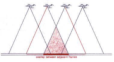
Stereo pairs
In aerial photography, frames overlap each other by at least 60%. When two consecutive photos are used, the difference in perspective allows the viewer to see the image in three dimensions, or stereo. Two overlapping images are called a stereo pair.
Aerial triangulation
Aerial triangulation (AT) scans are digital photos of British Columbia taken from the air. They are used for control and mapping projects. Aerial triangulation determines the accurate position and direction of each image in a series of aerial images. The images can then be compiled into a map.
We refer to triangulated horizontal, vertical, and pass points as the control. You can find this control on digital scans or on hard copy photo slides and transparencies.
Cross-pugging moves data from old air photos to new photos and scanned images to control new mapping.
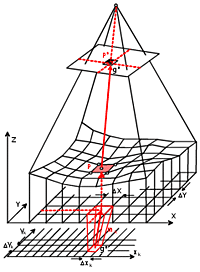
Orthorectification
An aerial photograph is geometrically corrected and projected to line up with a topographical map.
Colour orthophoto at 0.5 m resolution
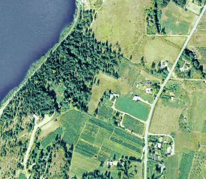
Colour orthophoto at 1 m resolution
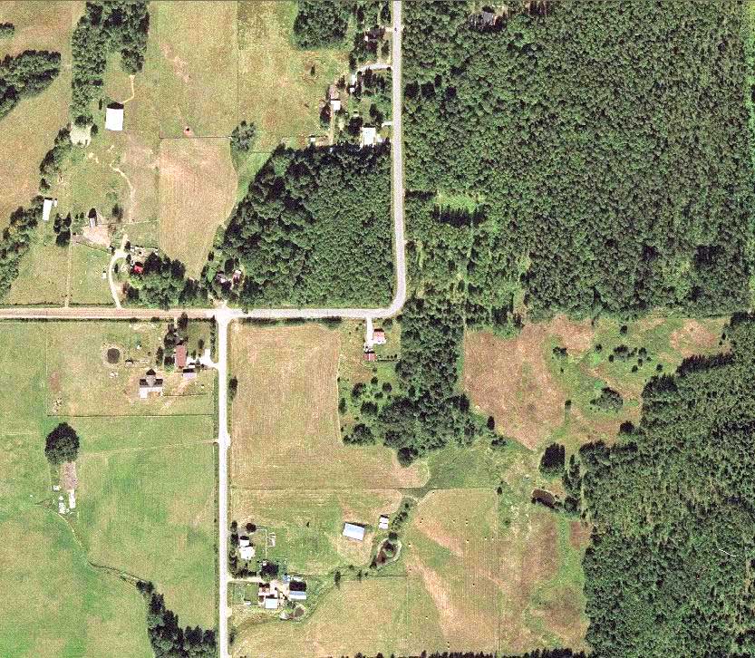
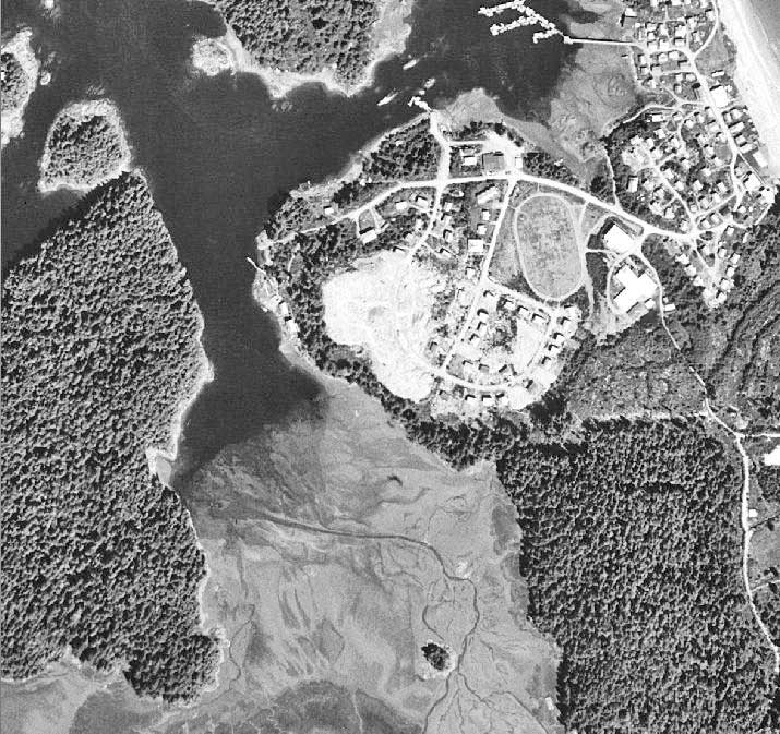
Black and white orthophoto at 1 m resolution
Get orthophotos
For the most up-to-date orthophotos, select a letterblock and export to excel or visualise on Google earth with the Web Imagery Search Interface (WIMSI) tool. Orthophotos can also be ordered from the Base Map Online Store.
Pricing
|
Product |
Cost |
|---|---|
|
Digital orthophoto BCGS 1:20K map sheet (50–100% coverage) |
$200.00 each |
|
Digital orthophoto BCGS partial 1:20K map sheet (Less than 50% coverage) |
$100.00 each |
Delivery Times
|
Product |
Delivery Time |
Delivery Method |
|---|---|---|
|
Digital orthophoto |
3–5 business days, not including statutory holidays |
Products supplied on CD, DVD or customer-supplied hard drive |
Technical information
Specification Guidelines
Date of photos
The date of photography used to create the B.C. Government's orthophotos are compiled in a variety of formats:
- Orthophoto Dates (PDF, 84KB)
- Orthophoto Dates (TXT, 164KB)
- Orthophoto Dates (CSV, 164KB)
- Orthophoto Dates Map
Specification chart
|
Index grid |
B.C. Geographic System (BCGS) 1:20,000 |
|
Geographic extent |
Province of British Columbia |
|
Compilation scale |
1:20,000 |
|
Pixel size |
0.5 and 1.0 metres |
|
Colour? |
Yes |
|
Format |
TIFF |
|
Compressed? |
No |
|
Projection |
UTM |
Contact us
Orthophotos of B.C. are produced by GeoBC.
General enquiries: GeoBCinfo@gov.bc.ca
- About GeoBC
Deliveries Courier
3rd Floor, 3400 Davidson Ave
Victoria, BC V8Z 3P8
Mailing Address
PO BOX 9375 STN PROV GOVT
Victoria, BC V8W 9M5
