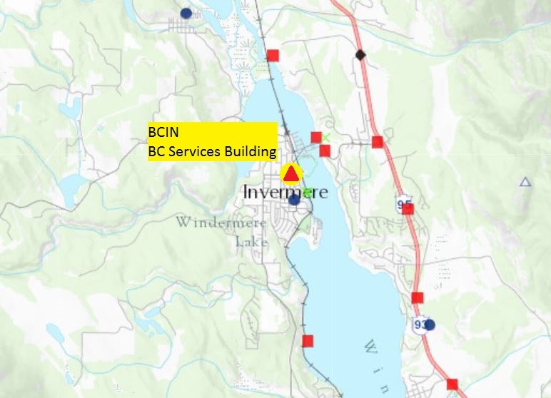
BCIN - Invermere Active Control Station
The B.C. Active Control System (BCACS) is a network of strategically located satellite receivers that are used for georeferencing in British Columbia. These satellite base stations are called active control points.
View information about the Invermere active control station on the map below. Click on the red triangle for the latest station information sheet (PDF).

Information about BCIN - Invermere active control station
Warning Bulletin - July 2019
From March 1st at 13:00 PST (21:00 UTC) to July 22nd, 2019 RINEX files for BCIN posted on the BCACS FTP were corrupt. This was initially incorrectly identified as an antenna mast modification; please disregard previous communications which stated this as the cause. An investigation found that no such physical site modifications had been made to this station. Regardless, files during this date range would have yielded erroneous vertical results by ~12cm in magnitude. The magnitude of horizontal error yielded from these corrupt files was found to be near-zero/negligible.
GeoBC advises all users of BCIN to review all projects between those dates to verify whether this error adversely impacted their GNSS-derived results. GeoBC has posted corrected RINEX files onto the BCACS FTP for this date range. Users have the ability to reprocess their GNSS datasets to assess and correct adversely impacted post-processed datasets.
