Coastal floodplain maps
The purpose of coastal floodplain maps is to identify coastal flood hazards, such as sea level rise, and to provide guidance to coastal communities in land use planning, bylaw development and sea level rise adaptation strategies.
Use the following guidelines to learn how the B.C. Government is designing dikes and other flood protection structures to be resilient against the effects of climate change, such as sea level rise.
Use the following toolkit as part of a sea level rise adaptation strategy:
Coastal floodplain map guidelines
The following report is intended to provide a technically sound methodology for local governments to develop coastal floodplain maps. In light of rising sea levels, coastal floodplain maps will also allow governments to define sea level rise planning zones.
Coastal flood hazard areas
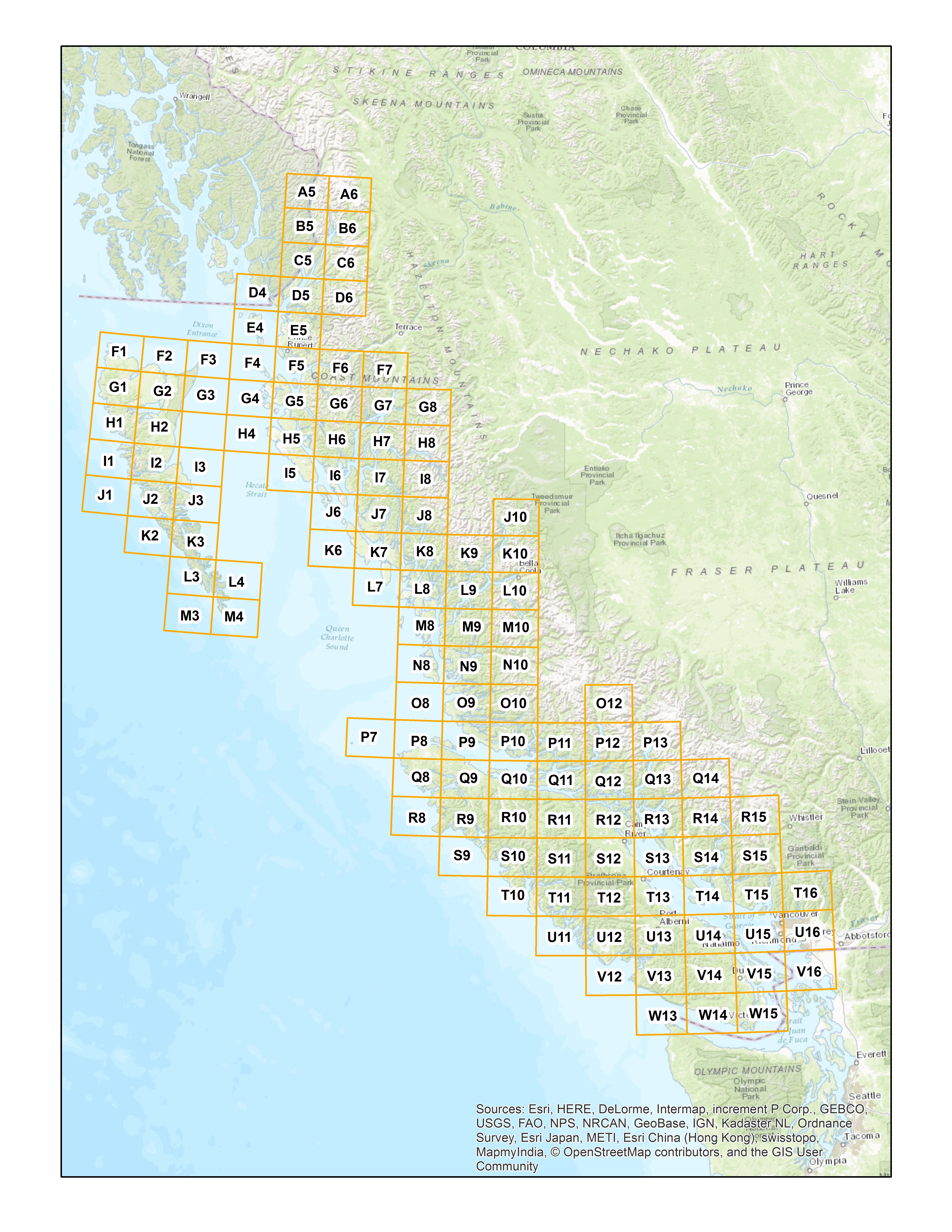
The maps of coastal flood hazard areas show potential year 2100 floodplain areas, based on approximate flood construction levels and incorporating sea level rise.
The intent of these maps is to highlight areas that may benefit from development of coastal floodplain maps. Please note that floodplain areas have not been ground-proofed, verified or studied to confirm their exact location.

Disclaimer
The maps of potential floodplain areas contain record information that has been funded by or provided to the Province of British Columbia. The information was prepared for the intended recipient for their purposes only.
Any use which a third party makes of the information, or any reliance on or decisions made based on it, are the responsibility of such third parties. The Province of British Columbia accepts no responsibility for damage, if any, suffered by any third party as a result of decisions made or actions taken based on this information.
