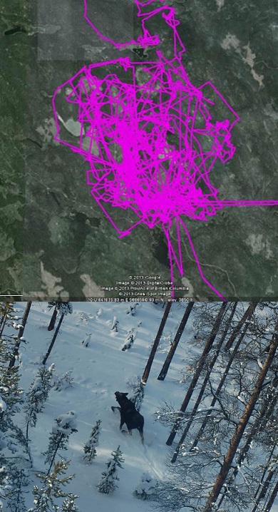
Moose and Watershed Stewardship Pilot
A collaborative moose management plan is in place within the Thompson Rivers Natural Resource District. The Moose and Watershed Stewardship Pilot is about collaboration between Government, Secwepemc Reconciliation Framework Agreement (RFA) signatory First Nations (Secwepemc) and major forest licensees to foster better stewardship of the forest resource and associated moose and watershed values in the Pilot Area. The Pilot Area encompasses three adjacent watersheds: Criss Creek, Tranquille River and Jamieson Creek.
The Working Group members worked with the Fraser Basin Council for over a year to develop the plan, which was ratified by all parties on April 5, 2016.
The collaborative plan provides for:
- Improved land and resource management planning;
- Improved communications and relationships;
- Improved resource management of moose habitat, riparian systems and functioning, and access, while maintaining forest productivity.
Final Plan and Maps
- Final Approved Plan V.7
- Map 1 - Moose polygon
- Map 2 - Moose management zones around key habitat features
Implementation: Access Management
One of the key implementation items in the plan is a “recommendation to create an access management plan, addressing multiple goals, using multiple approaches, and with a list of desired deliverables." To that end, a draft Access Management Plan was developed to inform ongoing road deactivation work in the Pilot Area. If you have any questions and comments regarding this draft plan, please direct them to the Thompson Rivers Natural Resource District office ThompsonRiversDistrict@gov.bc.ca).
Contact information
For more information on this pilot, please contact the Thompson Rivers Natural Resource District
ThompsonRiversDistrict@gov.bc.ca

