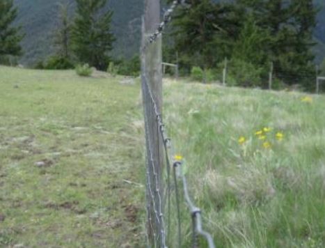
Range reference areas
Range Reference Areas are permanent research installations that monitor the impact of livestock, wildlife and other disturbances on B.C. rangelands.
Reference areas include permanent vegetation sampling plots that have never been grazed as well as abandoned grazing areas and relic sites. Fenced exclosures, which protect vegetation from grazing and browsing, are monitored by experienced Rangeland ecologists (Ministry of Forests).
Long-term maintenance and monitoring of Range Reference Areas provide a consistent, continuing benchmark for evaluating the accuracy of potential natural (climax) communities (PNC) estimates. There are over 370 Range Reference Areas in B.C. in both open and forested range environments.
Monitoring and research activities in Range Reference Areas are the responsibility of the Range Program, Ministry of Forests. If you are interested in working in the Range Reference Areas or data, please contact:
- Range Analyst, Nancy.Elliot@gov.bc.ca, or
- Range Ecologist, Nick.Hamilton@gov.bc.ca
Information from Range Reference Areas is used to measure the desired effect of range management practices and contributes to the development of Range Use Plans. As our knowledge of the PNC for a given range type is improved, the desired plant community targets set out in range use plans can be adjusted.
Range Reference Areas on sites which have reached PNC are valuable to land managers because:
- They identify climax species composition on grassland and forested range types with similar site conditions
- They are subject to the same year-to-year climatic fluctuations as adjacent managed grasslands thus allowing for direct comparisons of change over time
In range ecosystems where no examples of PNC remain, Range Reference Areas are established in the most advanced seral (successional) stage available. These sites may typically require 5 to 15 years to reach PNC. In areas where only early-seral grasslands exist, range reference areas may require up to 70 years or longer to reach PNC.
Range Reference Areas in seral communities can be used to validate estimates of PNC by:
- Excluding grazing to allow full expression of the existing plant community in growing seasons following range reference area establishment
- Allowing range managers to improve PNC estimates through repeated monitoring as the seral community moves toward climax (PNC)

Long-term maintenance and monitoring of Range Reference Areas provide a consistent, continuing benchmark for evaluating the accuracy of potential natural (climax) communities (PNC) estimates.
Contact information
Forests.RangeBranch@gov.bc.ca
