Paper maps of B.C.
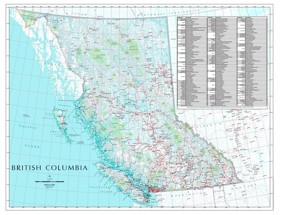
Static geographical maps may be used for administrative or decorative purposes. These maps of British Columbia are available for digital download and print.
Allowable reproduction
Copyright © Province of British Columbia.
Anyone is allowed to print off one copy of this map for personal use without permission from the Province of British Columbia.
These maps were created on a large page size. If you do not have access to a large format plotter or printer, any quality print shop with a large format plotter or printer will be able to print this for you.
British Columbia communities wall map
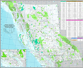
B.C. Parks protected areas reference map
The B.C. Parks Protected Areas reference map is a cartographically designed reference map of British Columbia’s protected areas that are part of the B.C. Parks protected areas system. The associated reference tables and accompanying map grid allow for quick lookup of any B.C. Parks protected area within the province.
The map is designed to be printed on large format paper.
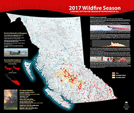
2017 wildfire poster
The summer of 2017 will be remembered as one of the worst wildfire seasons in British Columbia's history. This poster summarizes the record-setting details of the fire season.
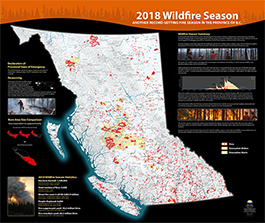
2018 wildfire poster
The summer of 2018 was another record setting year for wildfires in British Columbia. This poster summarizes the record-setting details of the fire season and provides a comparison between 2017 and 2018.


