Mineral Potential
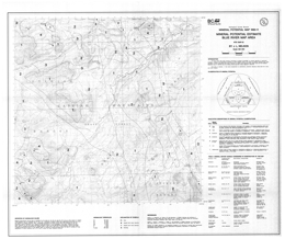
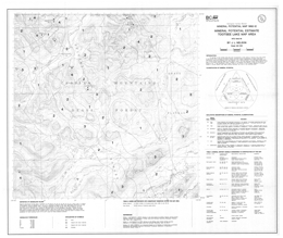
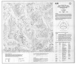
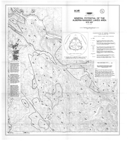
The BC Geological Survey released the first in a new series of Mineral Potential Maps for British Columbia in 1992. These maps evaluate the mineral potential of an area based on 1:50,000-scale geological mapping, integrated geochemical and geophysical data, and economic geology models.
Digital compilation files | Maps | Papers
Compilation files
Mineral Resource Assessment Level 2 (MRA2)
Atlin-Taku Mineral Resource Assessment - GeoFile 2009-05
Level 2 Mineral Resource Assessment Coastal British Columbia - GeoFile 2004-08
The British Columbia Mineral Potential Project 1992-1997 - GeoFile 2004-02
Mineral Resource Assessment Level 1 (MRA1)
Provincial Mineral Potential - Mineral Resource Assessment Level 1 (ZIP, 5.43 MB)
Mineral Potential Geology Compilation
Vancouver Island Project (1995) (Open File 1994-06)
Cariboo-Chilcotin (Open File 1994-07)
Kootenays (Open File 1994-08)
Skeena Nass Project (1995) (Open File 1994-14)
Mid Coast Project (1995) (Open File 1994-17)
Thompson-Okanagan (1995) (Open File 1996-20)
Northeast B.C. (1996) (Open File 1995-24 and Open File 1995-06)
Northwest B.C. (Open File 1996-11)
Queen Charlotte Islands (GeoFile 2004-12 and GeoFile 2005-05)
Maps
N.W.D. Massey
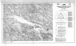
N.W.D. Massey
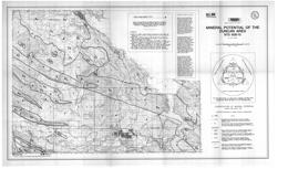
N.W.D. Massey
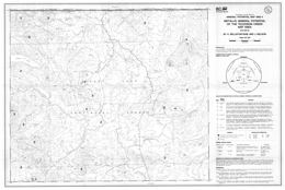
K. Bellefontaine and J. Nelson
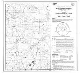
K. Bellefontaine and J. Nelson
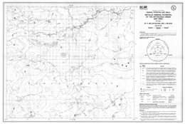
K. Bellefontaine and J. Nelson
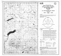
K. Bellefontaine and J. Nelson
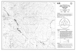
D.M. Melville and F. Ferri
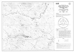
D.M. Melville and F. Ferri
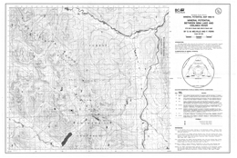
D.M. Melville and F. Ferri
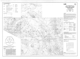
S.F. Dudka and F. Ferri
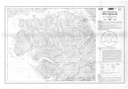
J.L. Hammack and G.T. Nixon
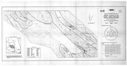
C. Ash, R. MacDonald and I.A. Paterson
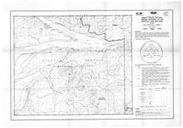
K. Green and L.J. Diakow
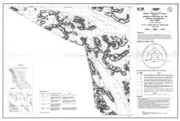
M.T. Smith and M.G. Mihalynuk
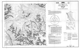
M.T. Smith and M.G. Mihalynuk
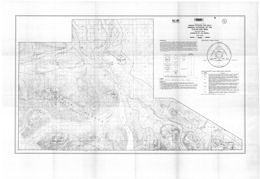
J.M. Riddell
Papers
Mineral Assessments In Protected Area Planning
British Columbia is in the process of developing a comprehensive provincial land use plan that will be a major contributor towards the goal of a sustainable environment and economy. The Protected Areas Strategy (PAS) is a key initiative within this plan, as it will raise the amount of land in B.C. protected for conservation, recreation or heritage values to 12 percent from the present approximate 7 percent.
The British Columbia Mineral Potential Project 1992-1997 - Methodology and Results
W.E. Kilby
A long document (some 330 pages long, and submitted as Bulletin 111) details the methodology used in performing a comprehensive mineral potential assessment of 948,596 square kilometres (total area of BC). It discusses the results and the reliability of the assessments. The province is divided into "homogeneous" tracts and the mineral potential of each tract is assessed with respect to each of the Mineral Deposit types applicable. Any past production is reported and an educated guess of how much more might be waiting to be found is reported in the form of probability statements. Composite maps are presented suggesting how prospective an area is considered to be. Of use to geologists, land planners, and ecological reserve managers alike. (An enormous amount of data are found in this 22 MB PDF file).
Mineral Potential Project Overview - Fieldwork 1994 Article
Kilby, W.E., 1995. Mineral Potential Project - Overview. In: Grant, B. and Newell, J.M., (Eds), Geological Fieldwork 1994. British Columbia Ministry of Energy, Mines and Petroleum Resources, British Columbia Geological Survey Paper 1995-1, pp. 411-416 (PDF, 425 KB)
Mineral Potential Assessment Projects - an Update - Fieldwork 1995 Article
Kilby, W. E., 1996. Mineral Potential Assessment Project - An Update. In: Grant, B. and Newell, J.M., (Eds), Geological Fieldwork 1995. British Columbia Ministry of Energy, Mines and Petroleum Resources, British Columbia Geological Survey Paper 1996-1, pp. 301-308 (PDF, 450 KB)
Grade and Tonnage Data for British Columbia Mineral Deposit Models

Grunsky, E. C., 1995. Grade and Tonnage Data for British Columbia Mineral Deposit Models. In: Grant, B. and Newell, J.M., (Eds), Geological Fieldwork 1994. British Columbia Ministry of Energy, Mines and Petroleum Resources, British Columbia Geological Survey Paper 1995-1, pp. 417-424 (PDF 410 KB)
Atlin-Taku Mineral Resource Assessment, Northwestern British Columbia (NTS 104F, J, K, L, M, N): Methodology and Results - Fieldwork 2008 paper
MacIntyre, D.G. and Kilby, W.E., 2009. Atlin-Taku Mineral Resource Assessment, Northwestern British Columbia (NTS 104F, J, K, L, M, N): Methodology and Results. In: Geological Fieldwork 2008. British Columbia Ministry of Energy, Mines and Petroleum Resources, British Columbia Geological Survey Paper 2009-1, pp. 45-54 (PDF 1.8 MB).
The BC Mineral Potential Project - New Level 2 Mineral Resource Assessment Methodology and Results - Fieldwork 2003 paper
MacIntyre, D.G., Massey, N.W.D. and Kilby, W.E., 2004. The BC Mineral Potential Project - New Level 2 Mineral Resource Assessment Methodology and Results. In: Geological Fieldwork 2003. British Columbia Ministry of Energy and Mines, British Columbia Geological Survey Paper 2004-01, pp. 125-140. (PDF, 2.1 MB)
Mineral Potential Workshop - Report of Proceedings, April 22-23, 1992, Victoria, British Columbia
W. Kilby
The British Columbia Geological Survey Branch's workshop on mineral potential map methodology was held in Victoria on April 22 and 23, 1992. It brought together both experts on the processes and potential clients for the products. The objective was to define a methodology which would meet the goals of the BC MEMPR's mineral potential initiative.
Participants from across Canada and the western United States of America were present. One day of formal presentations was followed by a day on which the delegates were divided into 4 working groups to address specific areas of concern.
This summary is a compilation of the recommendations from the workshop. A full description of the methodology to be employed on the BC Mineral Potential Initiative will be addressed in a later document. The enthusiastic sharing of expertise and expectations by workshop participants has been critical in the formation of a project strategy.

