Submit your lake monitoring field data
Field Data Submission Tool
Submit your field data online using our Field Data Submission Tool after each sampling event.
Reminder:
- Don't forget to have the photos you want to upload available on the device you are using to submit the data
- Remember to attach photos or scanned copies of your completed paper field form and completed lab requisition to your online data submission
If you have any comments or feedback on this tool, please let us know.
Tool notes and instructions
Field Sampling form
Tips and reminders when filling out the Field Sampling form:
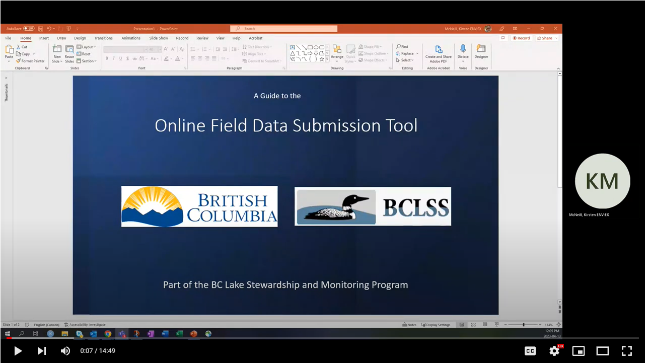
- Watch a video on how to fill out the Field Sampling form
- Submitting photos along with your sampling data is mandatory
- Have your completed lake depth profile sheet ready to upload
- Have your photos and lake depth profile sheet on the same device you are using to fill out the form in order to access them easily
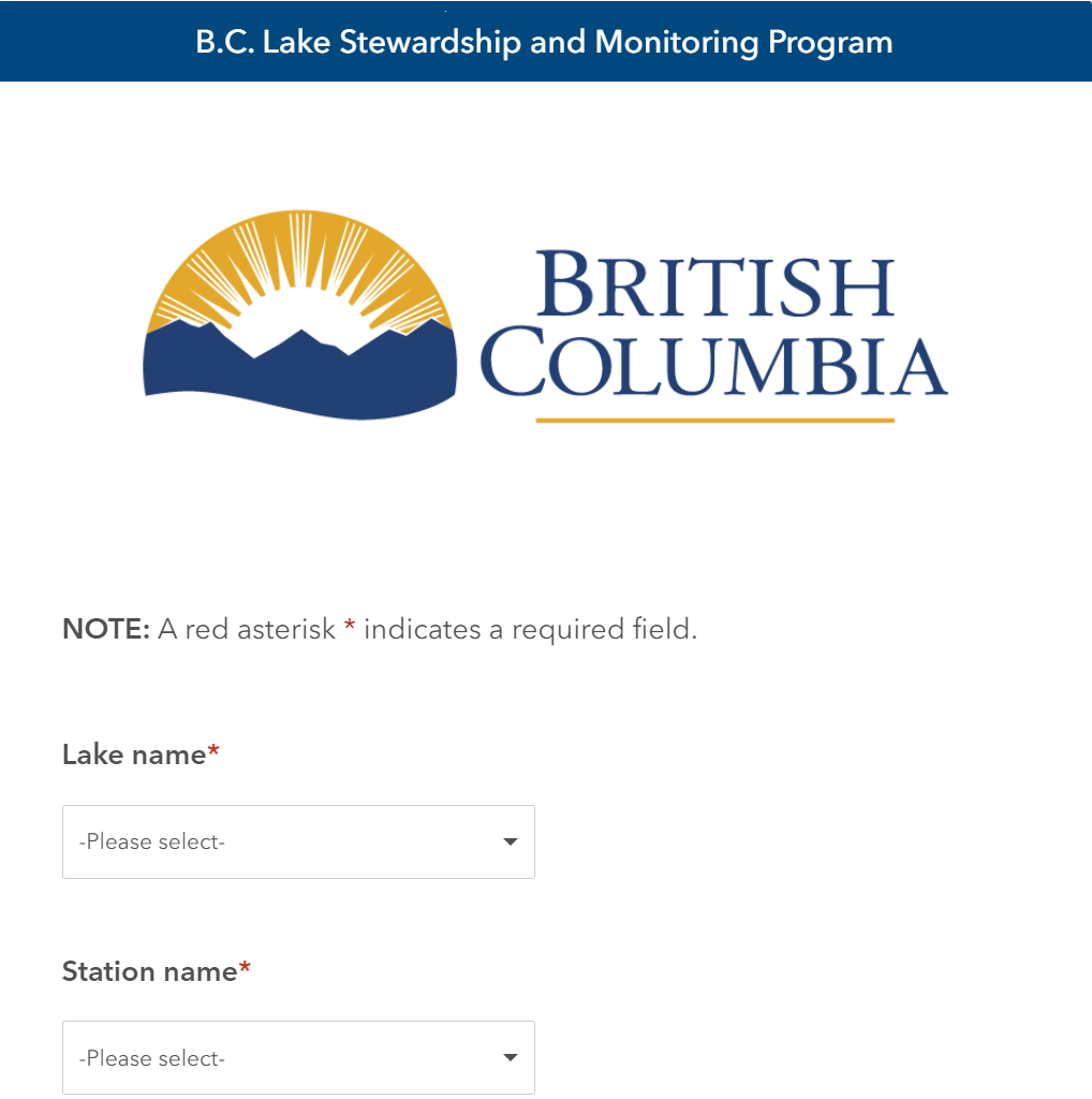
- Access the Field Sampling form using your web browser: https://arcg.is/juOC8
- Optional for advanced users: you can fill out Field Sampling form on your mobile device using the ArcGIS Survey123 app (available on: Android OS or Apple iOS)
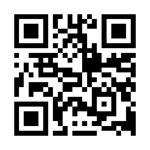
- Once installed, visit the URL above or scan the QR code below to install the Field Sampling form
- Optional for advanced users: you can fill out Field Sampling form on your mobile device using the ArcGIS Survey123 app (available on: Android OS or Apple iOS)
- To fill out the form on your mobile device or on the Sampling Form Field App, scan the QR code below to visit/download the Field Sampling form:

Information about the Field Data Submission tool
The Field Data Submission Tool utilizes the ArcGIS Survey123 platform provided by the B.C. MapHub.
Alternate ways to submit your field data
Email your field data
Alternatively, you can arrange to submit your completed lab requisition, field data, and lake photos following each sampling event directly to your Ministry contact or by email to volunteerlakes@gov.bc.ca. If data submission is completed this way, field data will also need to be entered using our standardized digital format files (available upon request) and submitted within 30 days of the final sampling event for the season. If you have any questions, please get in touch with us.
Field procedures:
- Level 1 study
- Level 2 study
- Level 3 study
- Field Data Submission Tool
How to fill out the Field Data Submission Tool (Duration: 15 minutes)
Contact information
Need assistance with submitting your field data?


