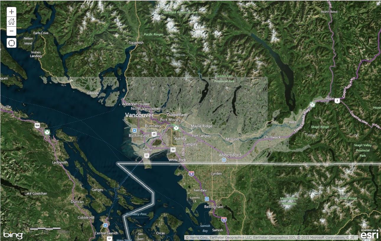
Soil Mapping and classification
Soil mapping
Finding comprehensive information from soil surveys and other sources is getting easier. Information is available to general users through Google Earth and similar interfaces in a package called Soil Information Finder Tool.
Soil classification
Every soil is unique. As with plants, animals and other forms of life, there is a way to organize information about soils in a logical and useful way. Ultimately, this information is useful for understanding implications for agricultural management practices and it is summarized in soil maps described above. Learn more:
- Virtual Soil Science - Soil Classification (University of British Columbia)
-
Canadian System of Soil Classification (Government of Canada)
Agricultural land capability
The following manual describes the criteria to assess agricultural capability of land. Note that capability differs from productivity, suitability and other interpretations of soil and climate information:
Find information about the soils and related properties on an interactive map: soil management begins with knowing this information.
Find, view and download Terrestrial Ecosystem Information:on maps and data
Find maps and resources to determine if a parcel is within the Agricultural Land Reserve (ALR) boundary:
AgriService BC
Have a question? Call or email and a staff person will assist you.
Telephone: 1 888 221-7141
E-mail: AgriServiceBC@gov.bc.ca

