Assessment Reports
The BC Geological Survey reviews and maintains collections of mineral and coal technical assessment reports submitted under the terms of the Mineral Tenure Act, the Coal Act, and the Regulations under these Acts.
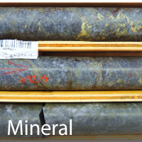
ARIS (Assessment Report Indexing System) is the collection of technical assessment reports and data from mineral exploration and development properties across British Columbia.
Filed by the exploration and mining industry since 1947, assessment reports document geological, geophysical, geochemical, drilling, and other exploration related activities. Once approved, assessment reports are kept confidential for one-year from the date that the exploration and development work was registered. Newly public assessment reports are made available on a monthly basis.
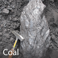
COALFILE is the collection of assessment reports and data from coal exploration and development properties across British Columbia.
Coal assessment reports have a confidential status for three years from the date of submission. Specific types of information are kept confidential indefinitely; described in detail in Section 2 of the Regulation.
The information contained in COALFILE is stored as a relational database (Microsoft Access) and includes spatial information for boreholes, bulk samples, and trenches. All of the off-confidential coal assessment reports are downloadable in .pdf with additional digital data as .zip files where available.
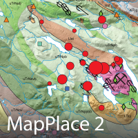
View and download mineral and coal assessment reports through MapPlace 2.
Mineral Assessment Reports: To view, check and expand the Mineral Inventory layer, and then expand and check the Assessment Reports (ARIS) layer. Then, to download, hover over a report location dot and select 'click for more information' to access the report summary page. Click the PDF Report hyperlink to download the report.
Coal Assessment Reports: To view, check and expand the Mineral Inventory layer, and then expand and check the Coal Reports and Data (COALFILE) layer. Then check the COALFILE - Assessment Report layer. To download, hover over a report location square and click the hyperlinked report number. Click the report number .pdf to download the report.
Boreholes recorded in coal assessment reports can also be viewed by checking the COALFILE - Boreholes layer. Dots will appear indicating the locations of all boreholes in COALFILE. Hover over a dot to view information about the borehole (identification number, report number, report year). Click 'COALFILE Record Summary' to open the detailed report summary page.


