Blue Creek
Area: Chilliwack
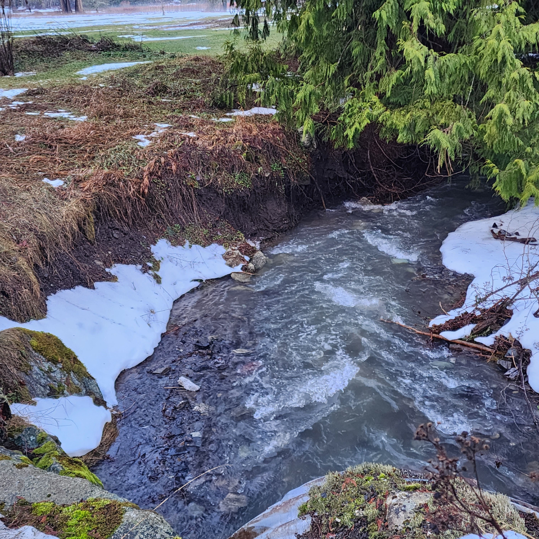
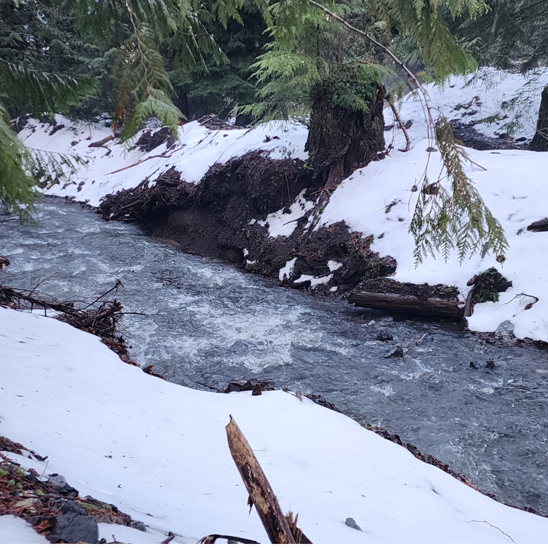
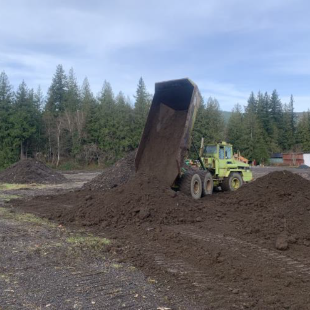
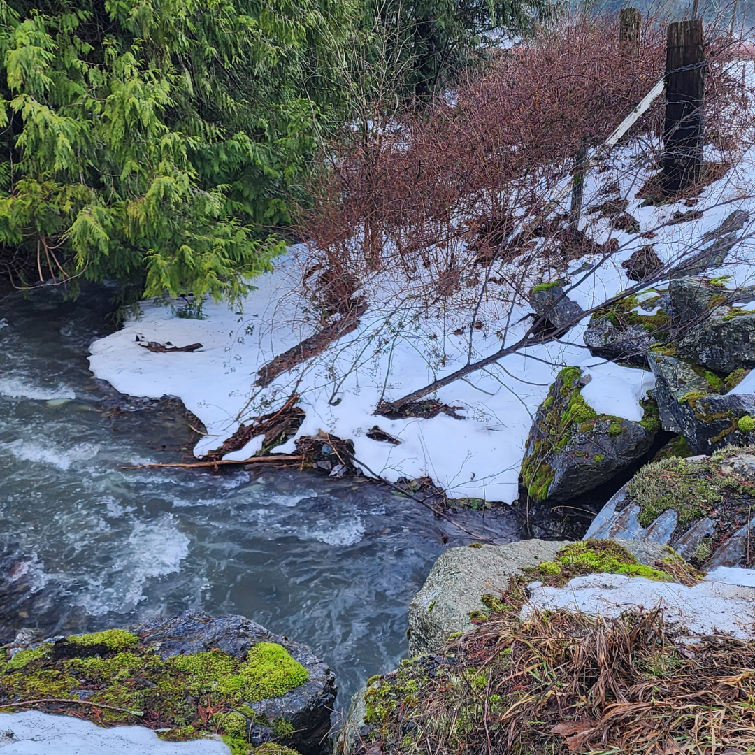
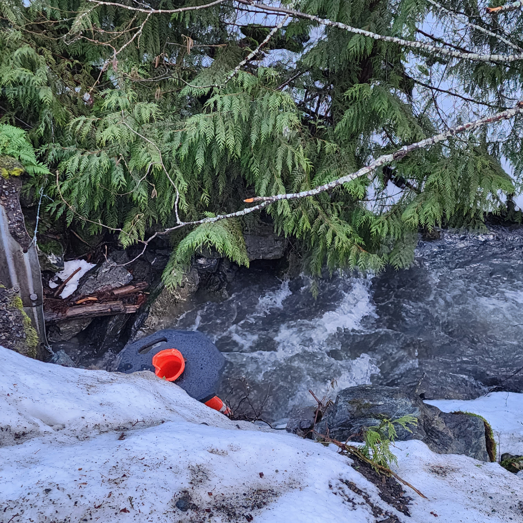
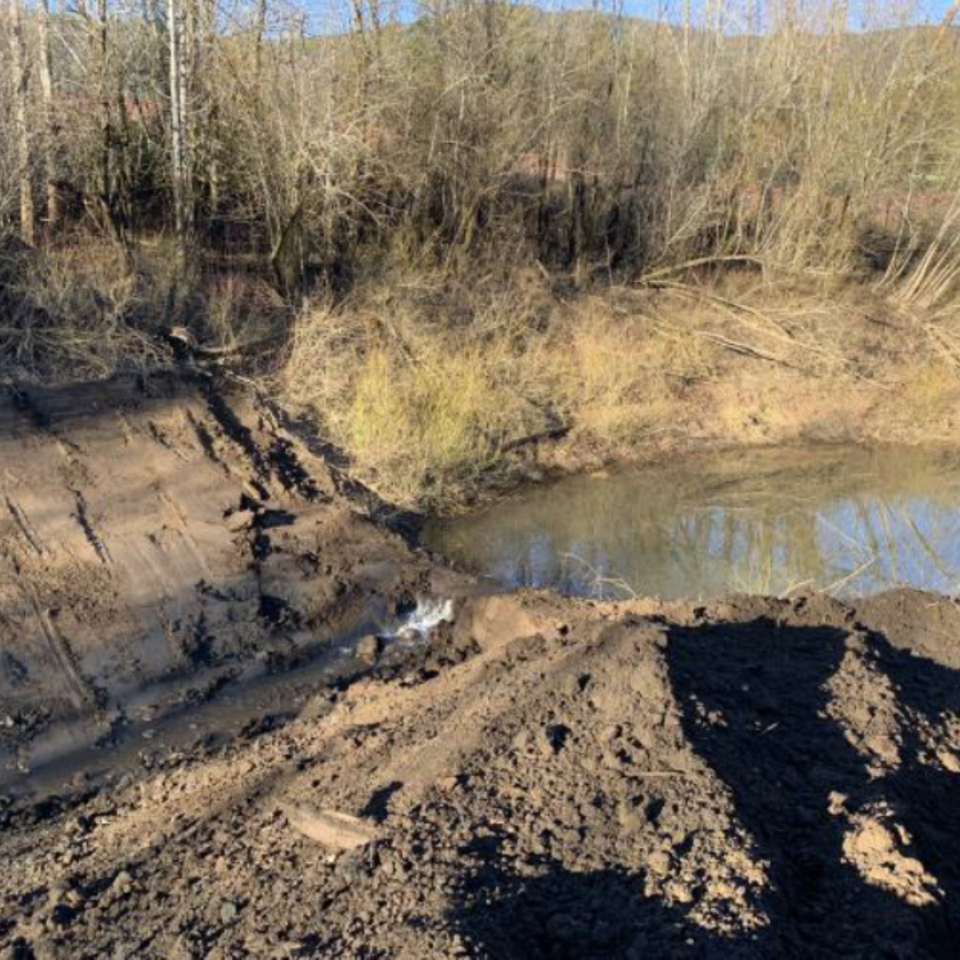
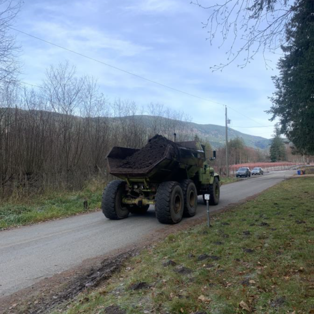
There was channel modification and flooding in the Blue Creek area. Sediment is being removed from the creek to re-establish pre-flood conditions. The project is planning to update parts of the area to current codes and standards.
The Blue Creek watershed is approximately 6 kilometers squared. Approximately 60% of the watershed area is in Washington State. Blue Creek runs down from its headwaters in the Skagit Mountain Range. The creek then crosses the Canada and USA border into farmland. Blue Creek ends at a natural infiltration basin, known as “the Kettle”. There is no channelized outlet, so all creek flow infiltrates into the ground.
Project Details
Total Budget:
- $6.9 Million
Projected Completion Date:
- May 2025
Community & Taskforce Members
- Fraser Valley Regional District
- Ts’elxwéyeqw Tribe (TTML)
- Ministry of Emergency Management and Climate Readiness
- Ministry of Environment and Climate Change Strategy
- Ministry of Water, Land and Resource Stewardship
- Kerr Wood Leidal
Images
Risk Evaluation
Public Health and Safety
Many risks pose a hazard to members of the public who live near the creek.
Risks include:
- fast flowing water
- potential flooding due to blocked culverts
- potential overland flooding from the Kettle
- unstable eroded banks
- wood debris flows
River Capacity
Blue Creek is not freshet driven, but experiences high flows in the fall/winter seasons. High water may overtop the banks and cut new channels through the surrounding area. Overbank flooding may occur due to sediment deposition within the creek channel. Flooding may also occur if the Maple Falls Road or Kosikar Road culverts were to become blocked. Risks come from the debris and sediment currently in the creek channel and banks.
Environmental
Risk of damage to the vegetation and trees could happen due to the increased sediment build up.
Infrastructure
The Maple Falls Road is at risk of flooding due to the reduced infiltration capacity of the Kettle. The Kosikar Road culvert could become blocked from upstream debris and sediment.
Project Links
Contact information
sec.info.epd@gov.bc.ca
Subscribe
Enter your email address to subscribe to updates of this page.


