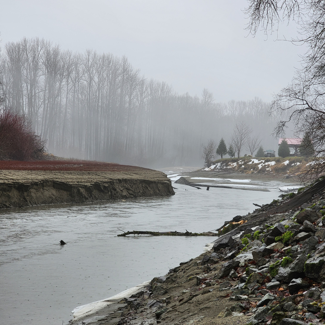
Hope Slough
Area: Chilliwack
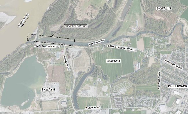
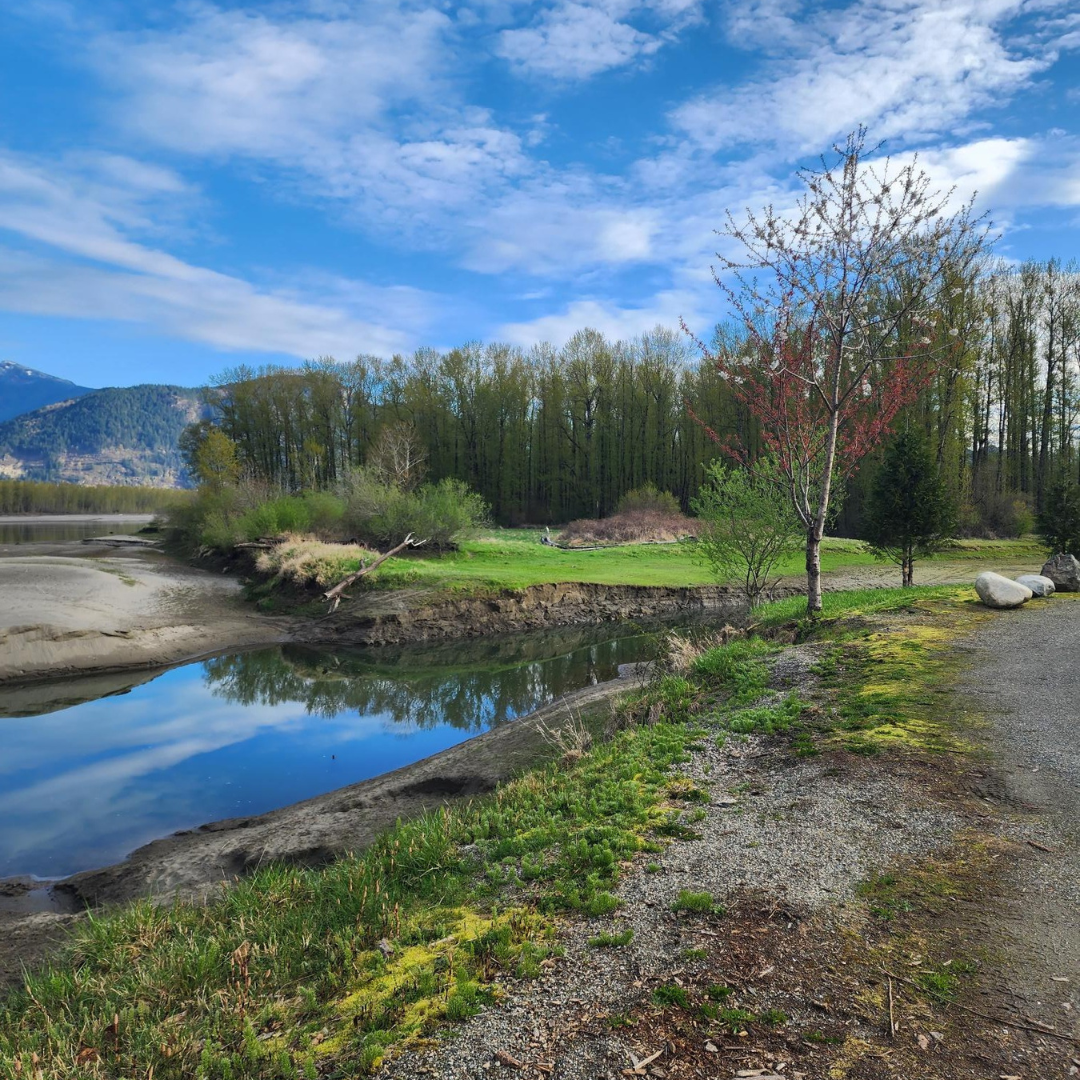
Preliminary site assessment identified hydraulic capacity, access constraints and potential flooding concerns near the joining of Sqwa:la (Hope Slough) and Stó:lō (Fraser River) area west of Chilliwack, BC.
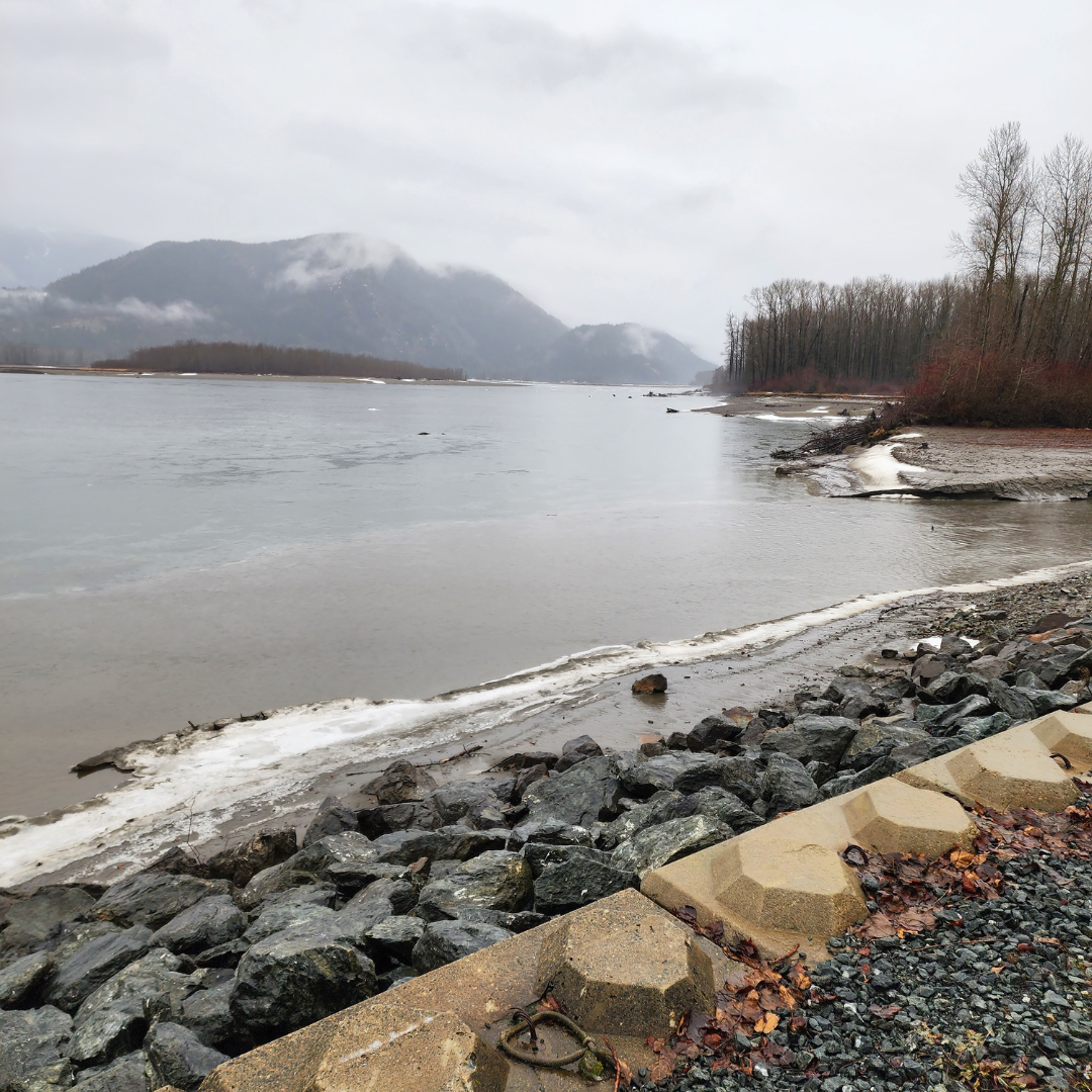
Sqwa:la (Hope Slough) flows to the Stó:lō (Fraser River) and is fed by the Hope River, which also connects to the Stó:lō (Fraser River) approximately 12km upstream from the mouth of the slough.
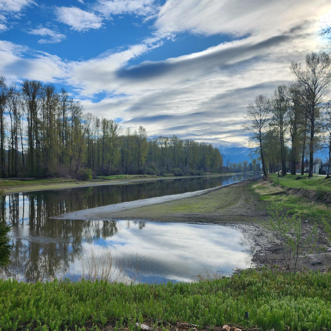
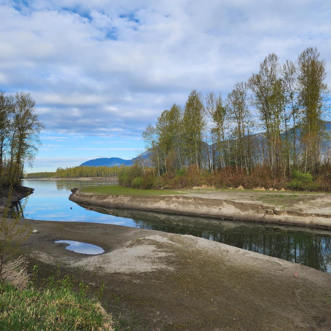
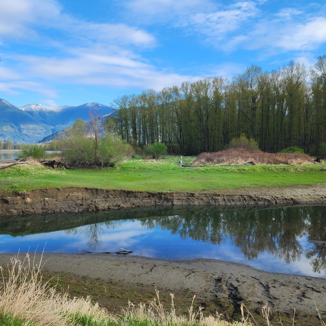
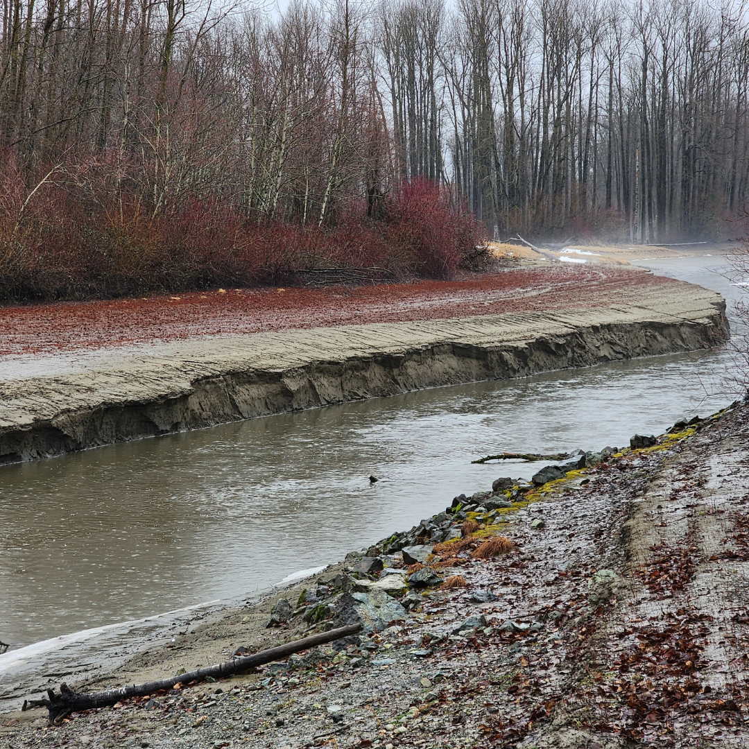
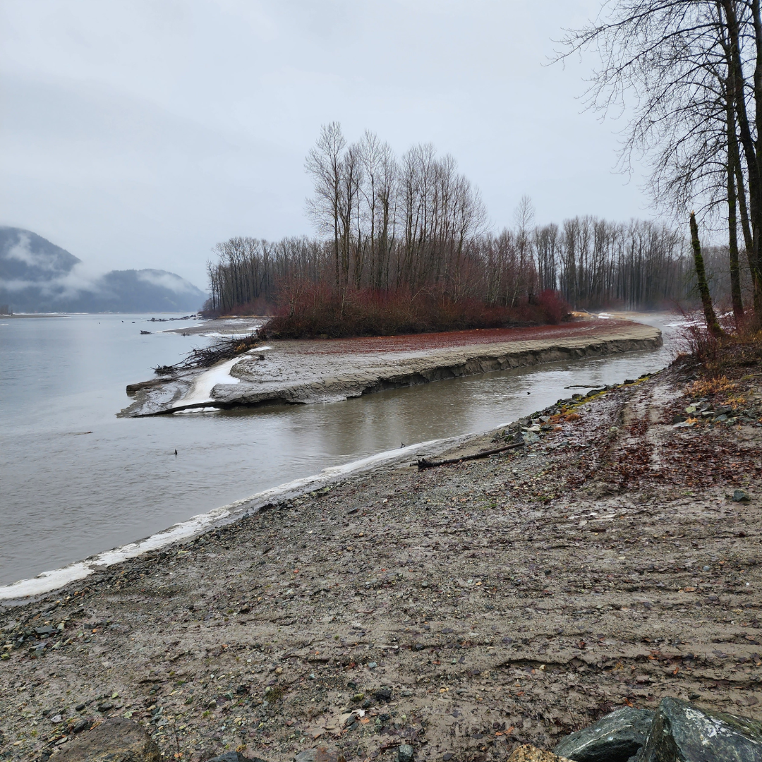
The slough has seen a historic accumulation of sediment, especially at its connection with the Stó:lō (Fraser River), that was increased by the November 2021 ARE. Sqwa:la (Hope Slough) is typically 80–90 meters wide and narrows to only 20 meters wide at the outflow.
This deposition of sediment may cause additional damage to riverbeds, banks, and infrastructure, and may pose a significant threat to the safety of people, properties, infrastructure, and the environment.
Planned work on this site includes reducing the amount of sediment along the channel towards the connection with the Stó:lō (Fraser River) to improve channel capacity along the project site area. (See map below).
Project Details
Total Budget:
$1,800,000
Projected Completion Date:
October 2024
Communities & Taskforce Members
- Cheam First Nation
- Shxwha:y Village
- Sqwá First Nation
- Indigenous Services Canada
- City of Chilliwack
- Ministry of Emergency Management and Climate Readiness
- Ministry of Environment and Climate Change Strategy
- Ministry of Water, Land and Resource Stewardship
- Ministry of Forests
- Associated Engineering
- Binnie
Videos
Images
April 2024 site tour
January 2024 Site Tour
Risk Evaluation
Public Health and Safety
Reduction of the Sloughs flow capacity due to sediment accumulation at the mouth may increase the likelihood of flooding and cause moderate disruption to communities situated along its banks.
River Capacity
Overbank flooding at Sqwa:la (Hope Slough), especially along Lower Landing Road and Teathquathil Road. occurs during periods of high Stó:lō (Fraser River) level in spring and summer and is relatively rare during the fall. Reduction of the Sloughs flow capacity due to sediment accumulation at the mouth may increase the likelihood of flooding.
Environmental
Sediment build-up in Sqwa:la (Hope Slough) degrades the quality of resting and rearing fish habitat in the channel. Fish may also be less apt to enter the Slough during low flow months if sediment accumulation impedes fish access. Reduced flow depths due to sediment accumulation also negatively impact's Skwah First Nation's ability to navigate the Slough, both for fishing and other traditional activities like canoe races.
Infrastructure
No at-risk infrastructure was identified during the site visit.
Contact information
sec.info.epd@gov.bc.ca
Subscribe
Enter your email address to subscribe to updates of this page.


