Sumas River and Canal
Area: Sumas - Abbotsford
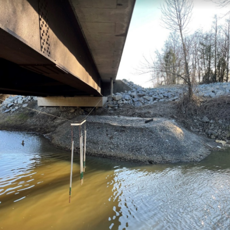
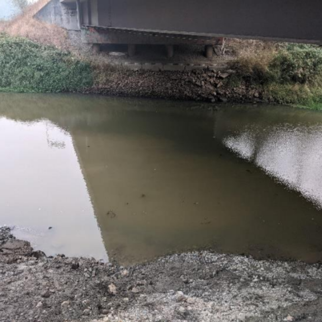
The atmospheric river event caused substantial damage along the Sumas River. Recovery works include the removal of sediment from the river and canal channels, the repairing of existing riverbanks, and erosion protections.
The Sumas Prairie is a low-lying agricultural area situated between Sumas Mountain on the north, Vedder Mountain on the south, Highway 11 on the west, and the Vedder River/Canal on the east. Sumas River originates in Whatcom County, Washington before flowing north into British Columbia. The Sumas River flows along the westerly and northerly portions of the Sumas Prairie, crossing Highway 1 and reaching the Barrowtown Dam and floodboxes. Downstream of Barrowtown, the Sumas River is joined by the Vedder Canal, then discharges to the Fraser River.
Historically the east part of the Sumas Prairie (the former Sumas Lake bottom) was occupied by Sumas Lake. Sumas Lake was drained in the 1920s for several purposes, including agricultural reclamation of the former lake bottom which consisted of fertile soil.
Project Details
Total Budget:
$19 Million
Projected Completion Date:
TBD
Community & Taskforce Members
- Sumas First Nation
- City of Abbotsford
- Ministry of Environment and Climate Change Strategy
- Ministry of Emergency Management and Climate Readiness
- 2Badgers Consulting Inc
- Kerr Wood Leidal
- Mission Contractors Ltd
Images
Risk Evaluation
Public Health and Safety
Sumas River has substandard dikes and is susceptible to Nooksack Overflows which pose a significant flood hazard to the Sumas Prairie rural and agricultural communities and roads. Agricultural livestock, livelihoods and properties remain at risk. Presence of asbestos in the water and sediments is hazardous to human health.
River Capacity
Sumas River floods are not governed by freshet but by winter storm events. The river has inadequate conveyance capacity and substandard dikes. Sediment accumulations restrict flood conveyance.
Environmental
Presence of asbestos is hazardous to mammal/aquatic life health. Damage to the riparian vegetation was noted. Damage to fish habitat is likely but is not expected to be high.
Infrastructure
Many roads, culverts, bridges, and utilities over a 130 sq km area are at risk with the Sumas Prairie flood hazard.
Contact information
sec.info.epd@gov.bc.ca
Subscribe
Enter your email address to subscribe to updates of this page.


